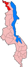
USEFUL INFO - NORTH - CHITIPA
- DISTRICTS
- NORTH – CHITIPA
- NORTH – KARONGA
- NORTH – LIKOMA
- NORTH – MZIMBA
- NORTH – MZUZU
- NORTH – NKHATA BAY
- NORTH – RUMPHI
- CENTRAL – DEDZA
- CENTRAL – DOWA
- CENTRAL – KASUNGU
- CENTRAL- LILONGWE
- CENTRAL-MCHINJI
- CENTRAL – NKHOTAKOTA
- CENTRAL – NTCHEU
- CENTRAL – NTCHISI
- CENTRAL – NTCHISI
- CENTRAL – SALIMA
- SOUTH – BALAKA
- SOUTH – BLANTYRE
- SOUTH – CHIKWAWA
- SOUTH – CHIRADZULA
- SOUTH – MACHINGA
- SOUTH – MANGOCHI
- SOUTH – MULANJE
- SOUTH – MWANZA
- SOUTH – NSANJE
- SOUTH – THYOLO
- SOUTH – PHOLOMBE
- SOUTH – ZOMBA
- SOUTH – NENO
Accommodation
Getting there and away
Chitipa lies 99km northwest of Karonga along the M26, a road that starts out promisingle enough – surfaced for the first 22km and regularaly graded as far as the Kayelekera Uranium Mine another 20km to the west but deteriorates badly thereafter. In a private vehicle, the drive will take at least two hours in favourable conditions, and may take longer (and require a 4×4) after rain. As some compensation, the mountainous scenery is stunning, and the landscape is so thinly populated and pristinely vegetated you might think you are passing through a national park or wildlife reserve. No buses run this route, only matola pick ups and trucks, which charge around Mk600 per person.
The border post for Zambia lies on the northern outskirts of Chitipa, and from there it is about 90km along an equally poor road to the Tunduma/Nakonde border on the surfaced main highway between Dar es Salaam and Lusaka – again, no formal public transport is available, only matola rides. Dustier and rougher still, and definitely requiring a 4×4, despite being shown as a trunk route on some maps, is the 275km M24/M9 connecting Chitipa to Rumphi via Nyika National Park.
Misuku Hills
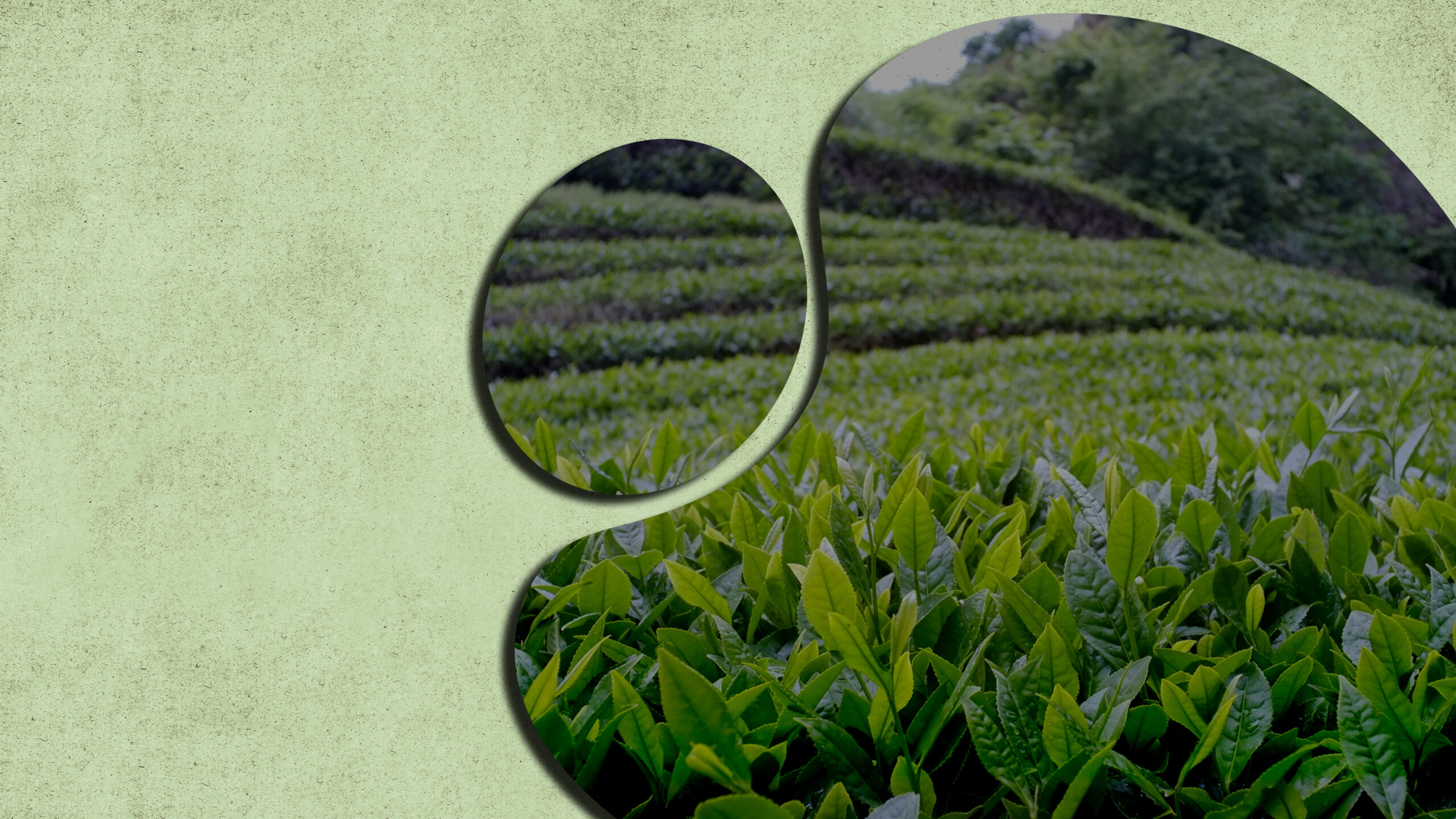
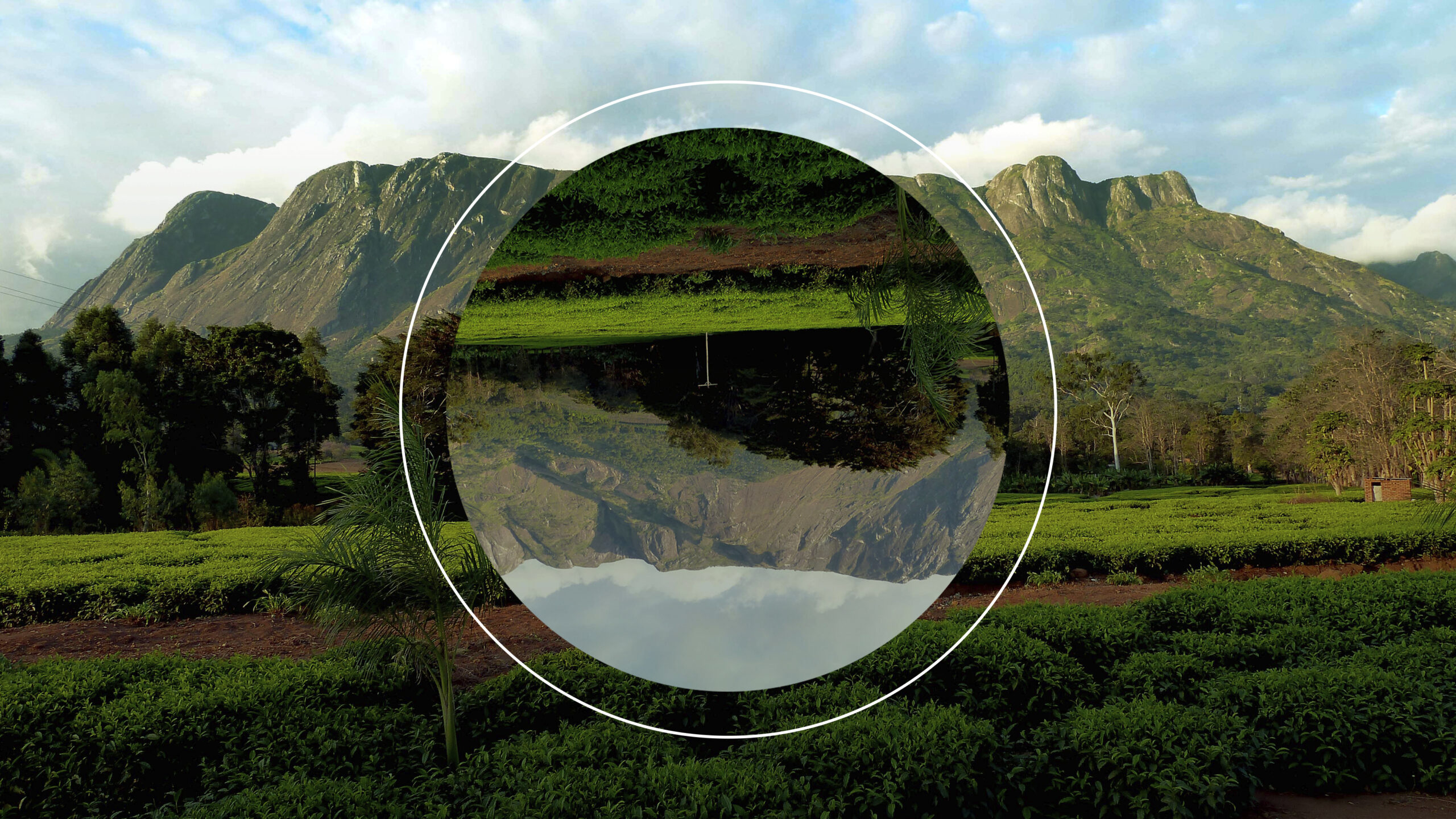
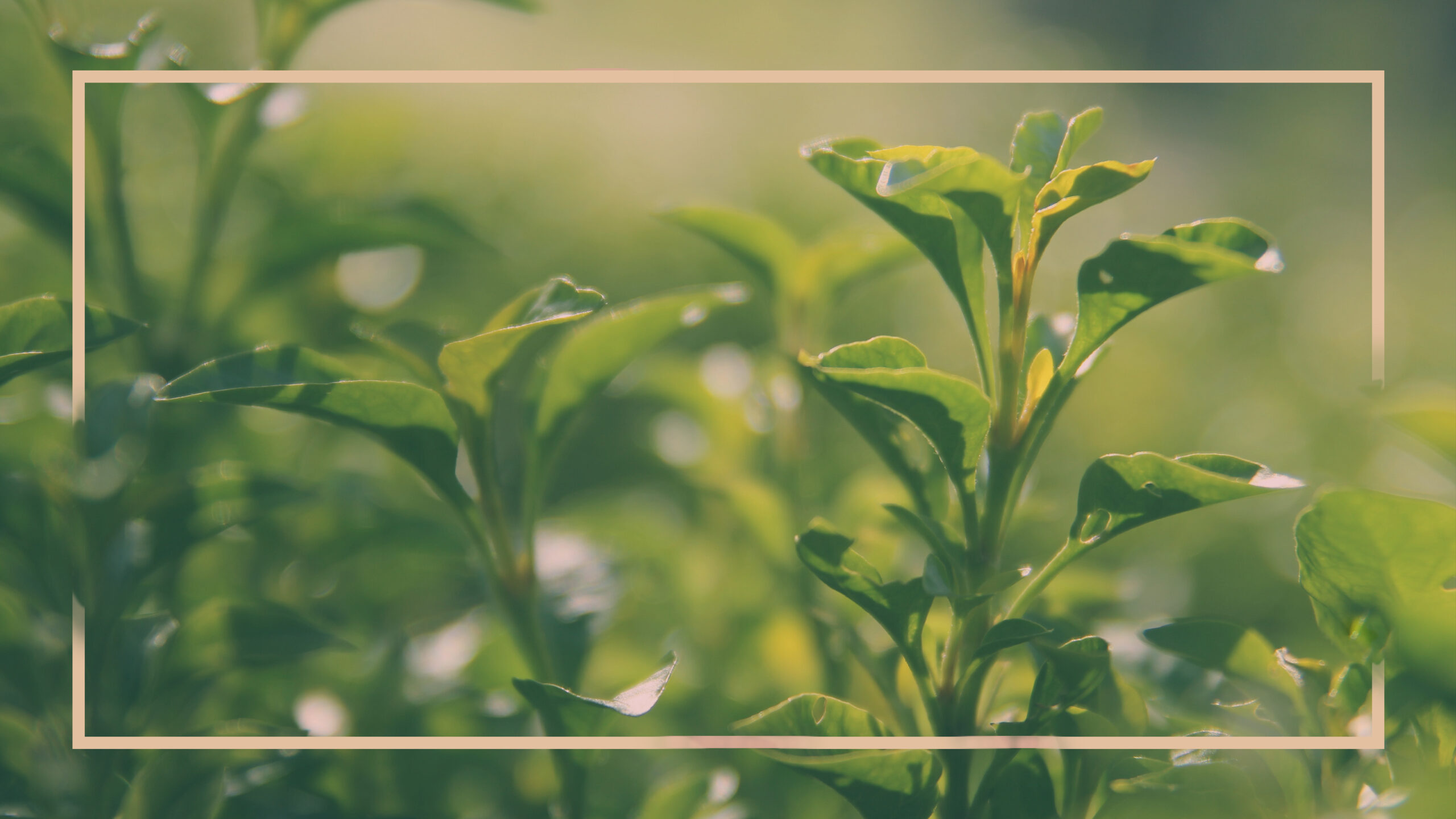
Running along the Tanzanian border to the north of the M26 between Karonga and Chitipa, the wild and remote Misuku Hills form an ecological extension of Tanzania’s southern highlands, from which they are separated by a steep valley carved by Songwe River. Scenically, Misuku is somewhat reminiscent of the Western Usambara in northen Tanzania, its fertile and steeply terraced slopes supporting a hotchpotch of subsistence farms where tropical cultivars such as bananas and papayas are juxtaposed against pine and eucalyptus plantations. The area is regarded to produce the best coffee in Malawi, thanks to its rich soil and high rainfall (up to 2,000mm per annum), and it accounts for more than half of the produce marketed by the Mzuzu Coffee Cooperative.
Comprising four parallel ridges with an altitude range of 1,700-2,050, the upper slopes of Misuku supports a cover of lush montane rainforest that has been protected within two forest reserves since 1948. These are very accessible Mughese Forest Reserve, which extends over 7.5km² near Misuku trading centre, and the more westerly 24km² Wilindi-Matipa Forest Reserve, centred on Matipa Peak, at 2,050m the highest point in the range. The forest of Misuku are regarded to support the country’s most diverse flora, with more than 150 tree species recorded, including several types of strangler fig. It is also rich in epiphytic orchids.
Strong affiliations with the southern highlands of Tanzania mean that Misuku is the main or only Malawian stronghold for several east African forest species including Derby’s flying squirrel, Tanganyika forest squirrel, three types of butterfly and five types of tree. For the casual visitor, the most alluring of these Misuku specials is the Angola colobus, a beautiful leaf-eating monkey notable for its flowing black-and-white coat and dashing arboreal acrobatics. Other large mammals include bushbuck, red duiker and blue monkey. Misuku is particularly alluring to birdwatchers, with a checklist of more that 100 forest specialists including three species found nowhere else in Malawi, namely spot-throat Shelley’s greenbul and forest batis. The rungweensis race of green barbet, easily seen in Mughese, is confined to Misuku and Mount Rungwe in southern Tanzania.